1860 Bombay-inside fort-church gate street and church gate of fort-bombay times office&Favreleuba watch company
A palanquin is parked in front of times news paper office-may be for Editor
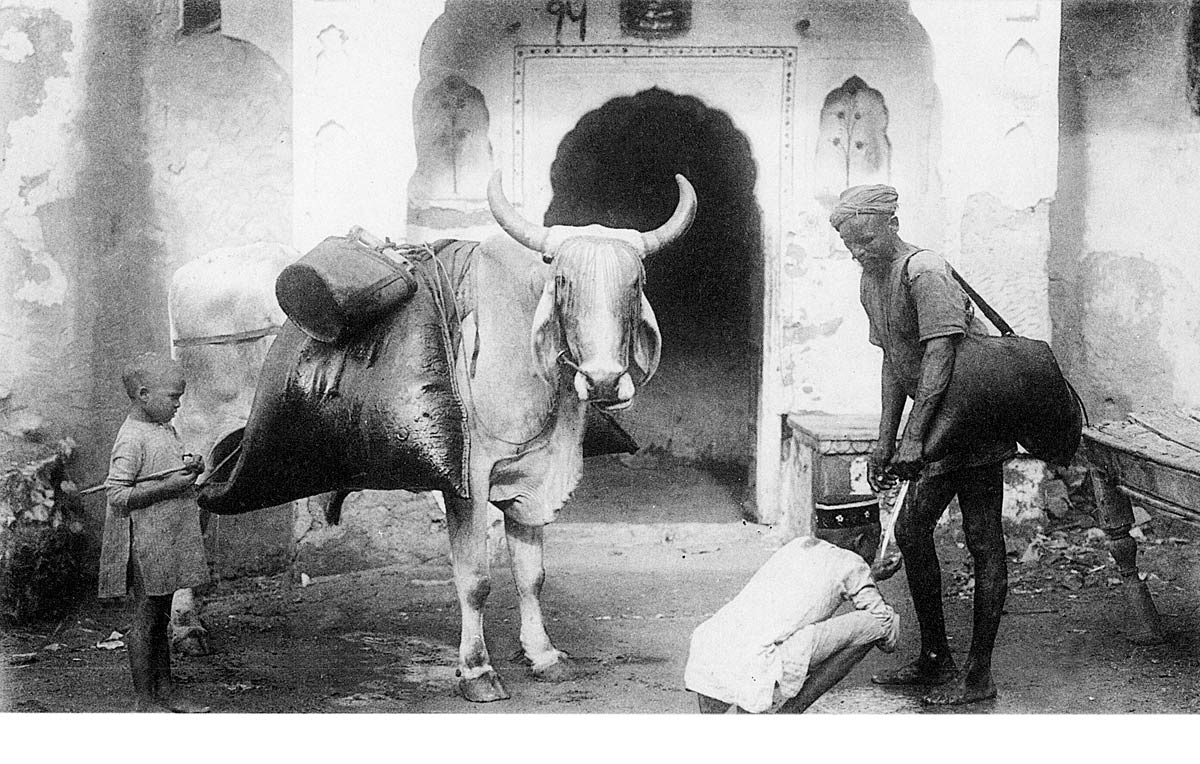
Roads wet due to constant travel by water carrying bullock gadis
A palanquin is parked in front of times news paper office-may be for Editor
Roads wet due to constant travel by water carrying bullock gadis
Bullock with water-skins & Bhisti.
Photograph of a street in the Fort area of Bombay (Mumbai), Maharashtra, by an unknown photographer, from an album of 40 prints taken in the 1860s. Bombay, one of the key cities of India, is a major port, busy manufacturing centre and capital of Maharashtra. During British rule, it was the administrative capital of the Bombay Presidency. It extends over a peninsula jutting into the Arabian Sea on the west coast of India. Originally a collection of fishing villages of the Koli community built on seven islands, Bombay was by the 14th century controlled by the Gujarat Sultanate who ceded it to the Portuguese in the 16th century. In 1661 it was part of the dowry brought to Charles II of England when he married the Portuguese princess Catherine of Braganza. The British built up fortifications around Bombay harbour in the 17th century around the original Portuguese settlement. In the 1760s the fortifications were enhanced as the British were engaged in war with France in both Europe and India. By the 19th century the British had established control over India and the fort walls were torn down and the area converted into the central district of Bombay city.


No comments:
Post a Comment